
Lycian Way: Stages, Ancient Cities and Where to Stay


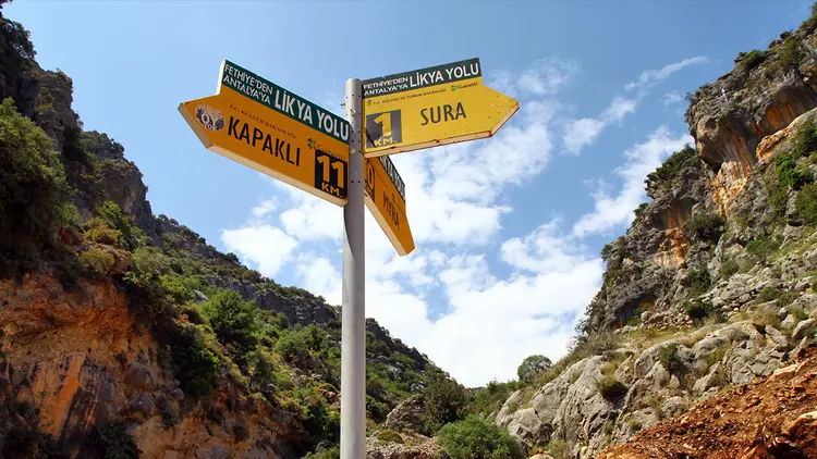
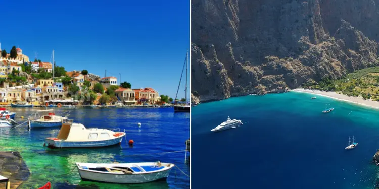
The Lycian Way is Türkiye’s first long-distance waymarked hiking trail, and it strings together turquoise coves, olive groves, mountain villages and ruined cities. Rock tombs and ancient theaters turn up beside the path, sometimes in the middle of a pine forest. Knowing where it runs, how the stages split and where to sleep makes planning a lot simpler.
1. Where Is the Lycian Way?
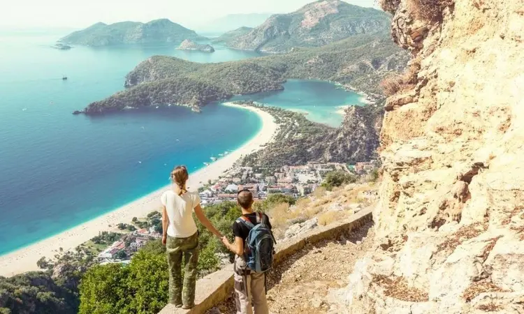
The Lycian Way follows Türkiye’s southwest coast from Ovacık near Fethiye to Geyikbayırı, about 20 km (12 miles) short of Antalya. How long is it, exactly? That’s harder to pin down. The classic route is usually given as roughly 540 km (335 miles), though recent guides count extensions and variants that stretch the whole network to about 760 km (470 miles). Kate Clow, a British writer based in Türkiye, created the trail, and it opened in 1999. Don’t picture one long, gentle beach walk. Stages vary a lot in difficulty, so pick a plan that matches your fitness and interests.
2. Lycian Way Stages
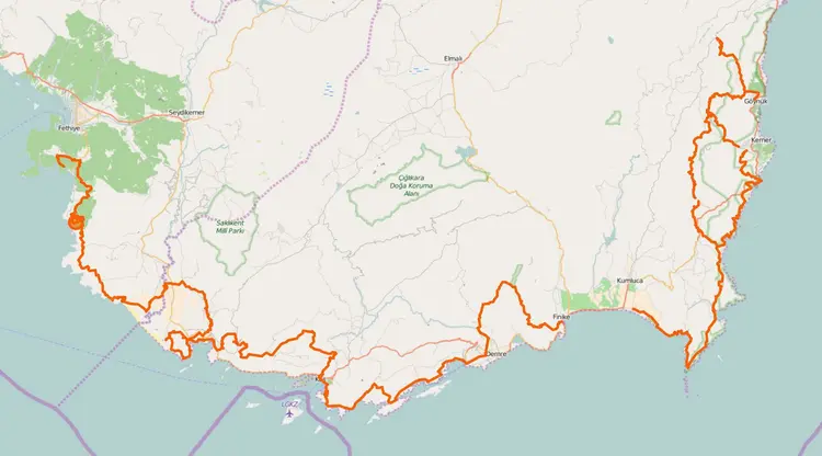
Counts differ, and there’s no single right answer here. Sources divide the route into 25 to 33 stages depending on which variants are counted, and the list below follows the 32-stage split used on the original Turkish page. Among the most talked-about stretches: the Fethiye-Ovacık start, the Kabak-Alınca section and the Çıralı-Olympos area. Distances are approximate and routes get rerouted from time to time because of quarries and road building (the Culture Routes Society counted about 60 km rerouted in five years as of 2016), so check a current guidebook or map before you go. An outdated map is the easiest way to lose the trail. The stages run as follows:
- Fethiye – Kayaköy – Ovacık (18 km)
- Ovacık – Kozağaç – Kirme – Faralya (14 km)
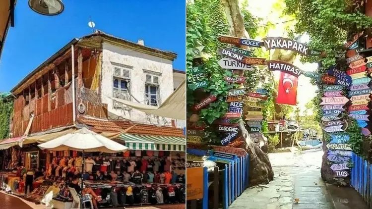
- Faralya – Kabak (7 km)
- Kabak – Alınca (6 km)
- Alınca – Bel (17 km)
- Bel – Gavurağılı – Pydnai (Özlen) (15 km)
- Pydnai (Özlen) – Letoon (Kumluova) – Xanthos (Kınık) (14 km)
- Xanthos (Kınık) – Çavdır – Çayköy – Üzümlü (16 km)
- Üzümlü – Bezirgan (17 km)
- Bezirgan – Sarıbelen – Gökçeören (17 km)
- Gökçeören – Hacıoğlan – Phellos – Çukurbağ (22 km)
- Çukurbağ – Kaş (8 km)
- Kaş – Limanağzı – Ufakdere – Üzümlü Pier (14 km)
- Üzümlü Pier – Boğazcık (7 km)
- Boğazcık – Kılınçlı – Aperlai (8 km)
- Aperlai – Üçağız – Kaleköy (Simena) (12 km)
- Kaleköy (Simena) – Kapaklı – Çayağzı (Andriake) (13 km)
- Çayağzı (Andriake) – Sura – Gürses – Myra – Demre (18 km)
- Demre – Alakilise – Kırkmerdiven – Yatık Ardıç – Belos – Finike (19 km)
- Finike – Mavikent – Karaöz (32 km)
- Karaöz – Gelidonya Lighthouse – Adrasan (24 km)
- Adrasan – Musa Mountain – Olympos – Çıralı (17 km)
- Çıralı – Ulupınar – Beycik (21 km)
- Beycik – Tahtalı Mountain – Kuzdere Plateau (16 km)
- Kuzdere Plateau – Gedelme – Göynük Plateau (18 km)
- Çıralı – Maden Bay – Tekirova (25 km)
- Tekirova – Phaselis – Alacasu – Aşağı Kuzdere (20 km)
- Aşağı Kuzdere – Roman Bridge (Kesme Boğazı) – Göynük Plateau (19 km)
- Göynük Plateau – Göynük (19 km)
- Göynük – Hisarçandır (27 km)
- Hisarçandır – Çitdibi (9 km)
- Çitdibi – Karabel – Geyikbayırı (18 km)
3. Ancient Cities on the Lycian Way
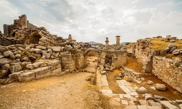
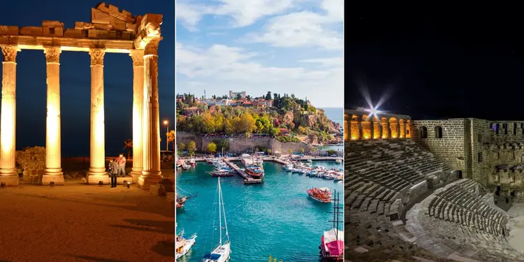
No cars allowed. The trail is closed to motor traffic, so backpackers have it to themselves, along with mountain bikers on some sections, and on the way it passes many ancient cities and water sources.
Here are ten of the cities along or near it.
1. Pınara
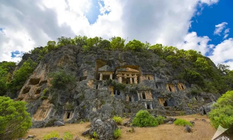
Pınara lies about 45 km from Fethiye. In the Lycian language its name is said to mean “round”, which fits: the city sits on a rounded hill. Earthquakes hit it hard. The ruins still show how grand it once was.
2. Sidyma
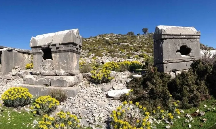
Sidyma is near the villages of Dodurga and Boğaziçi in the Fethiye district.
At the entrance, high monumental tombs and decorated columns set the tone. Beyond them: temples, large rock tombs and ivy-covered walls.
3. Xanthos (Ksantos)
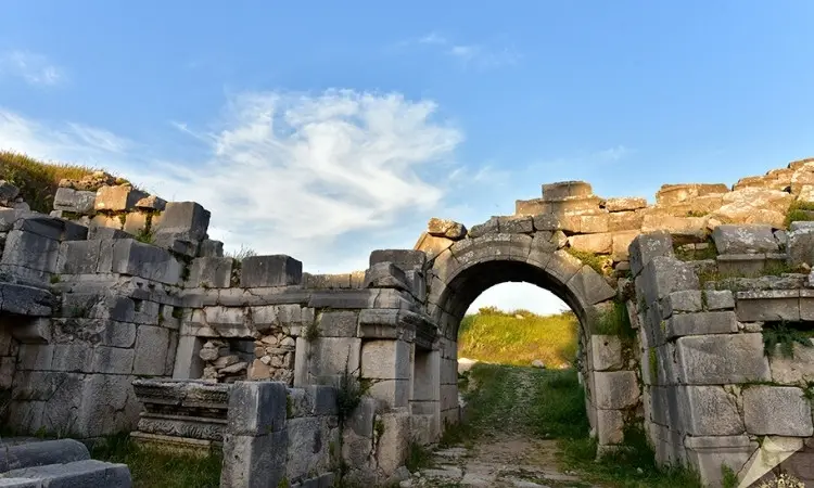
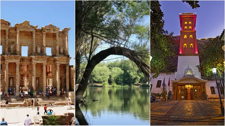
Xanthos is about 46 km from Fethiye and counts as the biggest administrative center of Lycian civilization. So many wars passed through that relatively few buildings survive, and many of its finest finds, the Nereid Monument among them, are now in the British Museum, a long way from the hill they came from. What remains is a UNESCO World Heritage Site. Look for a sarcophagus tomb, a theater and a church.
4. Pydnai
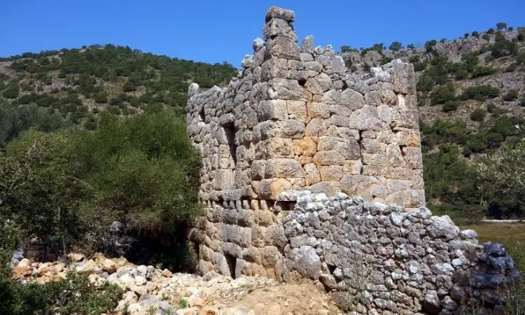
Earthquakes left little standing at Pydnai, west of Patara Beach.
Still, its small hill and the views draw adventurous hikers.
5. Letoon
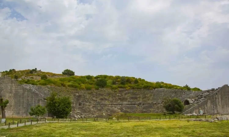
Letoon is about 65 km from Fethiye. Its name is believed to come from Leto, mother of Apollo and Artemis by Zeus. At its center stand three temples for Leto, Artemis and Apollo, while the Hellenistic theater is the best-known structure on the site. UNESCO listed it in 1988, together with Xanthos.
6. Antiphellos
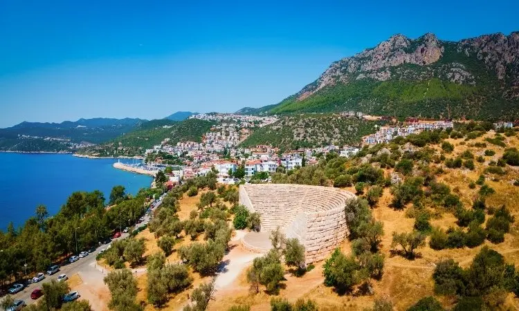
Antiphellos is the Lycian-era name of Kaş. Because the modern town grew on top of the ancient one, many buildings were lost: where war emptied Xanthos, Antiphellos simply disappeared under Kaş. One survivor stands out: a single-block sarcophagus on Uzun Çarşı Street, the city’s best-known monument.
7. Phellos
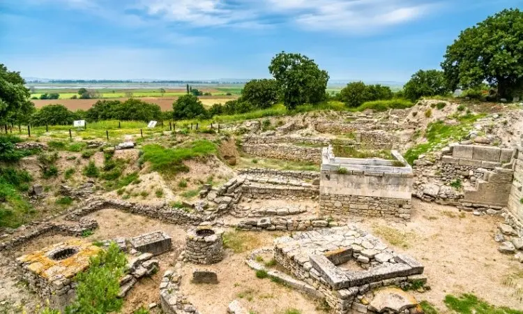
Phellos is in Pınarbaşı village near Kaş. It was built for defense. The surviving remains make that clear, and the walls around the acropolis are its main features.
8. Apollonia
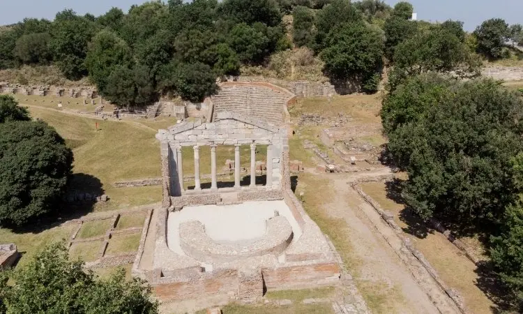
On the road toward Kekova, about 22 km from Kaş, lies Apollonia. Inside its walls stands a Byzantine church. Other sights: a tomb monument with a six-sided (prismatic) body, a bath and a theater.
9. Aperlai
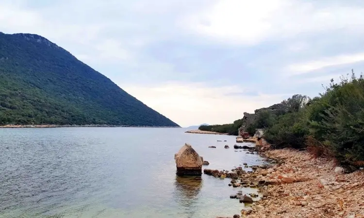
Aperlai lies between Kaş and Kekova at the foot of the Sıçak Peninsula, and its ruins run down a slope to the sea. Boat tours reach it too. Lycian silver coins have been found here; harbor structures now lie underwater.
10. Olympos
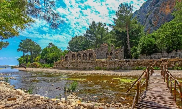
Olympos is about 80 km southwest of Antalya and is named, it is believed, for an Anatolian word meaning high mountain. A stream cuts the site in two. It was once a harbor town, and according to the Ministry of Culture and Tourism’s site page, pirates used it as a base in the first century BC until the Roman commander Servilius Isauricus took it in 78 BC. These days the visitors are holidaymakers, many of whom use it as a base.
4. Where to Stay on the Lycian Way
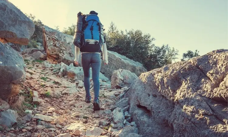
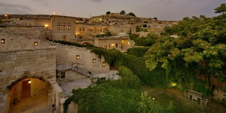
Lodging along the Lycian Way is varied. Boutique hotels, guesthouses (pansiyon) and campsites sit close to the trail, and in some villages the rooms are in traditional stone houses. Typical bases include Fethiye, Faralya, Kabak, Patara, Kaş, Demre, Finike, Olympos, Çıralı and Göynük. For camping, Kabak Bay, Patara, Olympos and Çıralı are the usual spots.
Timing matters more than the map does. Put simply, spring and October to November are the most comfortable times to hike, since summer is very hot on low sections and snow lies high up in winter.
Sources: Wikipedia: Lycian Way, Culture Routes Society: Future of the Lycian Way, Ministry of Culture and Tourism: Olympos Archaeological Site

Bir yanıt yazın