
12 Hidden Paradises in Turkey Beyond the Resorts


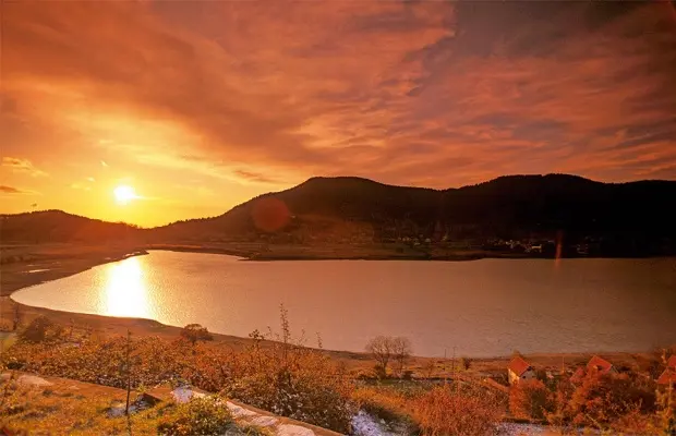
Atlas, a Turkish travel and nature magazine, once picked out dozens of the country’s least-visited beauty spots. These 12 hidden paradises in Turkey run from Aegean coves to Black Sea highlands and still-water forest lakes, most of them far from the big resorts. Several take real effort to reach, which is rather the point.
1. Karaburun, İzmir
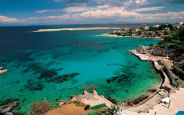
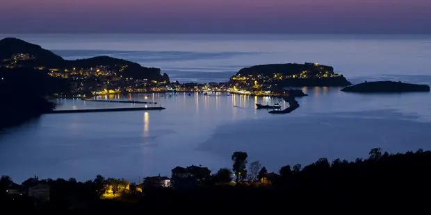
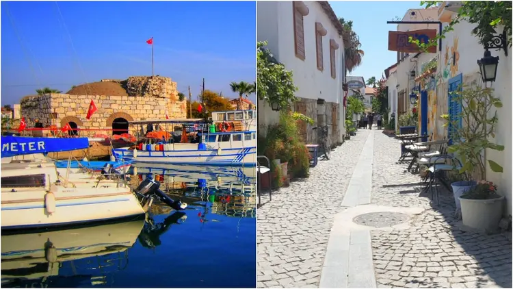
Karaburun is the wildest corner of the peninsula that bears its name, at the western tip of İzmir Bay. Antiquity knew it as Mimas. Today this fishing town looks across the Aegean to the Big and Small Islands, while on the windy cape the Sarpıncık lighthouse has guided ships for generations. Past Urla, the coastal road threads a string of lace-edged coves where the water facing the open sea is notably clean—and because the coast is rocky more than sandy, it draws divers too.
Several beaches around Karaburun hold or have sought Blue Flag status, so check the current list before choosing one.
2. Yediburunlar, Muğla
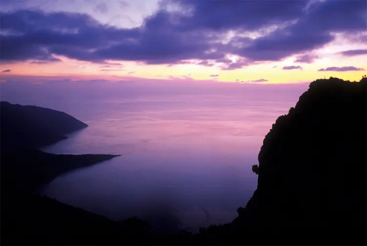
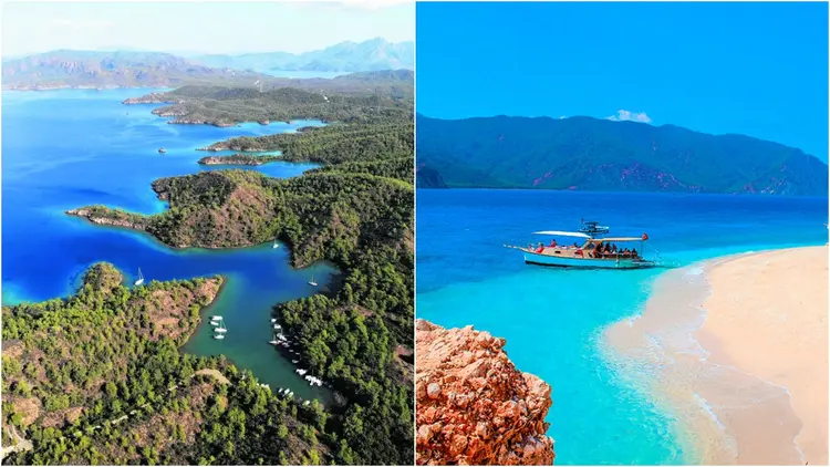
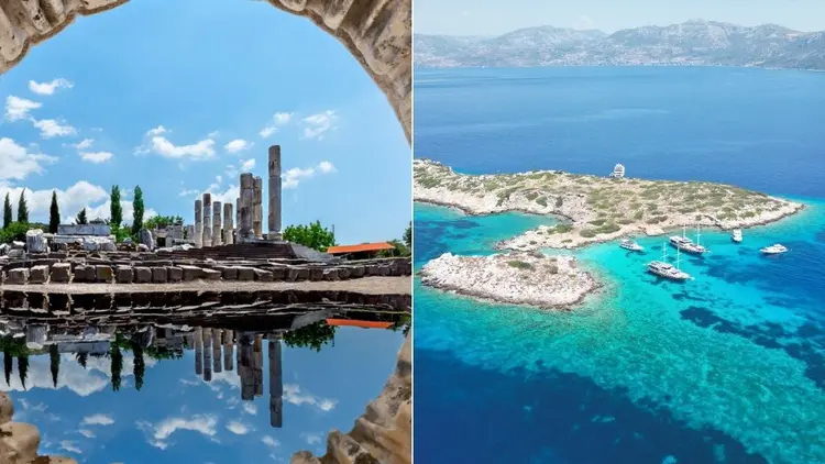
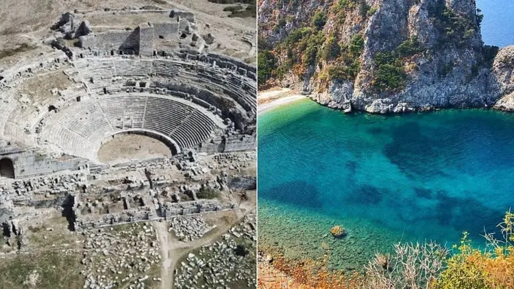
The Fethiye-Kaş highway runs inland. So most people drive straight past the Yediburunlar coast between Ölüdeniz and Patara, missing green forest meeting deep blue Mediterranean, untouched coves, “Seven Capes” of land reaching into the sea and a scatter of ancient cities. Here, a map matters more than a guidebook.
3. Aperlai, Antalya
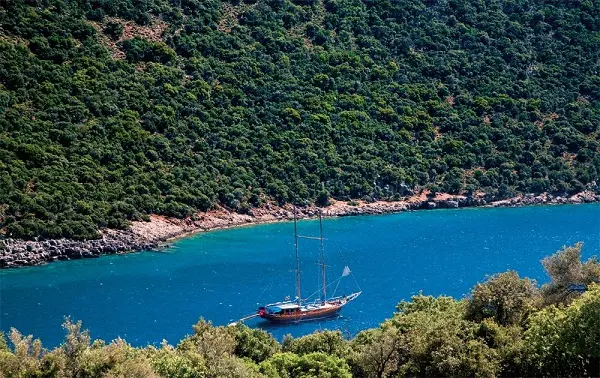
Kekova draws the boat crowds, yet it isn’t the end of the line, whatever the tour schedules suggest: half an hour farther by boat lies the Sıçak Peninsula and the ancient city of Aperlai, which few visitors have heard of. Two small coves face the Mediterranean from the narrow neck of the peninsula. No road reaches either, but boats run from Kaş or Üçağız. Or walk: a 7 km stretch of the Lycian Way leaves from Kılınçlı village on the Kaş-Üçağız road, red-and-white markers all the way. From the hills, Kekova lies on one side and the whole İnönü Bay on the other.
4. Güzeldere Waterfall, Düzce
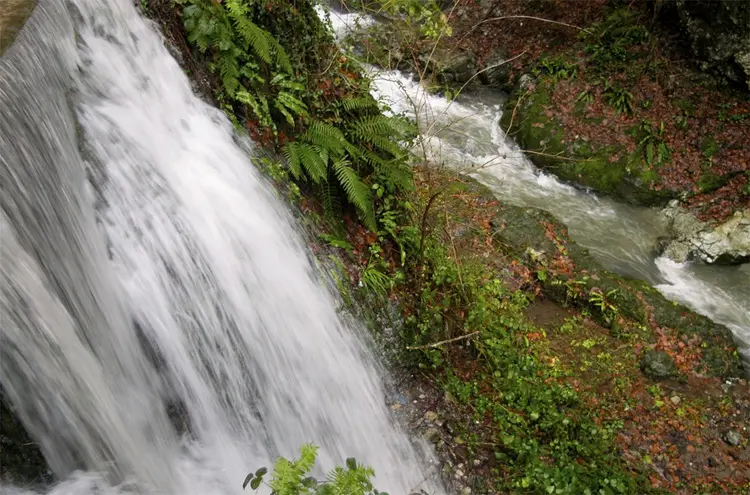
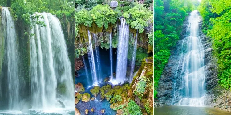
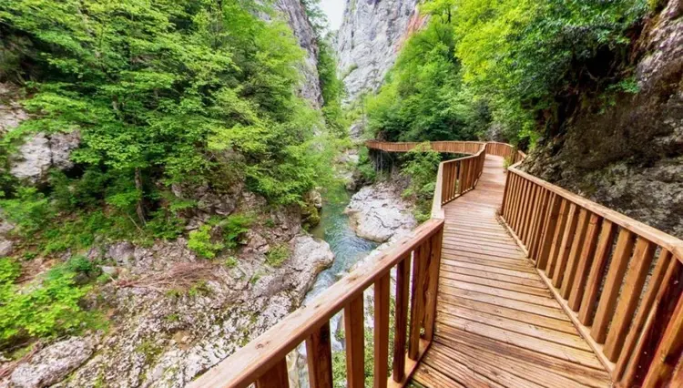
Güzeldere starts as one of the rushing streams of the Elmacık Mountains. Then, at Bıçkı Düzü, it leaps about 120 meters down a rock face and becomes a waterfall—its roar echoing through a valley of giant beech and hornbeam. The fall sits inside Güzeldere Waterfall Nature Park in Gölyaka district, about 18 km from Düzce, with three trails that include stairs and platforms.
The platforms stay wet. Follow the warning signs.
5. Adamkayalar Valley, Mersin
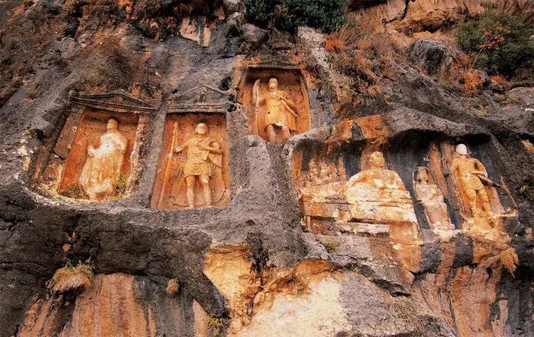
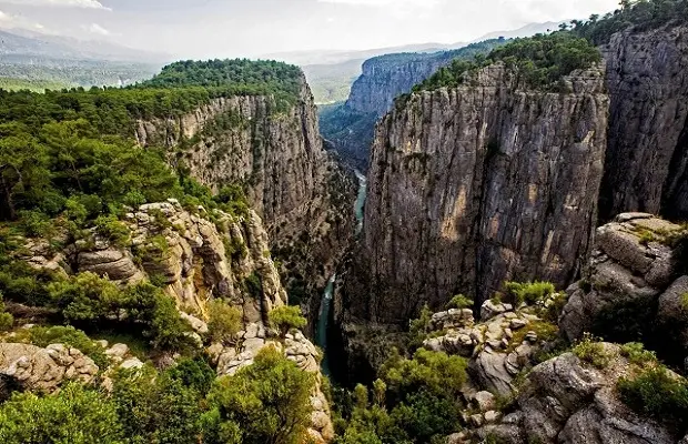
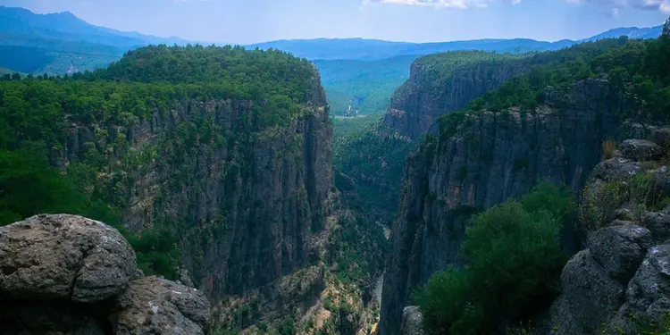
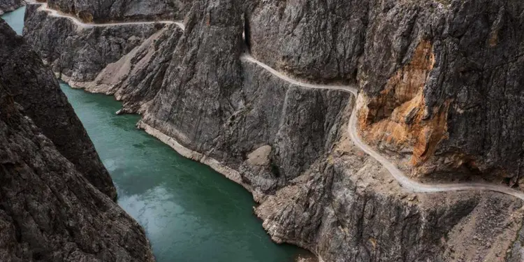
Between Silifke and Erdemli, the Taurus Mountains run parallel to the sea and cut into deep valleys and rocky hills. The canyons here are bare. Their cliffs rise steep enough to unsettle anyone standing beneath them, and although the canyon is often dry in summer, in the other seasons its water keeps flowing to the Mediterranean. Why “Man Rocks”? The name comes from the human figures carved into the rock faces.
6. Samistal Plateau, Rize
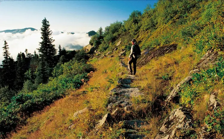
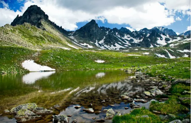
Samistal is among the highest plateaus in the eastern Black Sea, set in a bowl-shaped plain under Memiş Efendi Hill. More than a hundred village houses mix timber and cut stone in one of the region’s finest examples of local architecture, and they have stood against a harsh climate for generations. The ground floors were stables; the upper rooms hold bedrooms and the kitchen, the main living space. Spring comes late at that altitude: life on the plateau begins in June.
When the original piece was written, road building had been halted. No road reached the plateau.
7. Şavşat Karagöl, Artvin
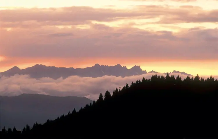
Inside Karagöl-Sahara National Park in Artvin’s Şavşat district, this lake gleams like a green gem in the middle of a plain ringed by mountains and fir forest. Locals also call it Meşeli Lake. It lies 26 km from the district center, north of Meşeli village, though published distances don’t all agree.
8. Mount Spil, Manisa
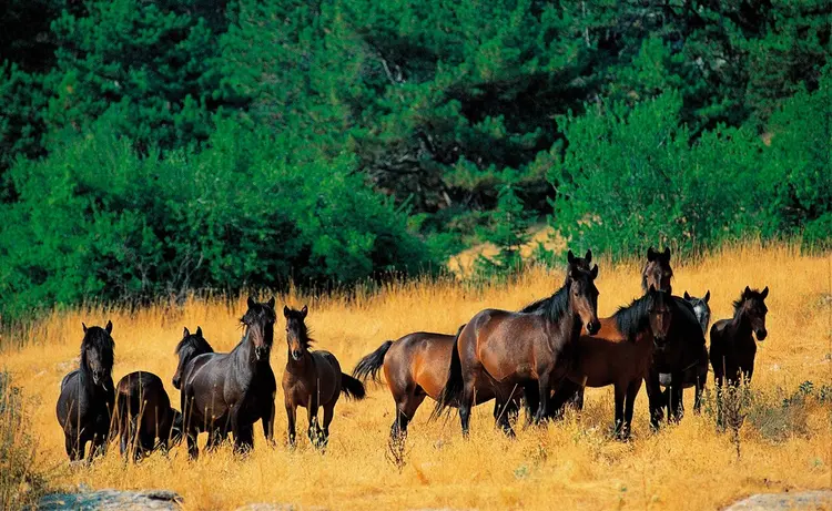
Mount Spil lies 24 km from Manisa and about 50 km from İzmir, and is among Turkey’s most attractive national parks. Canyons, valleys, caves, endemic plants, viewing terraces: one mountain holds them all. A winding road climbs toward a summit of about 1,500 meters, and the temperature is 5 to 10 degrees lower than in Manisa city, which has produced its own plants and animals.
Tradition says the tulips that gave an Ottoman era its name, and were exported to Europe, were taken from here. Hard to prove, but a good story.
9. Lake Kovada, Isparta
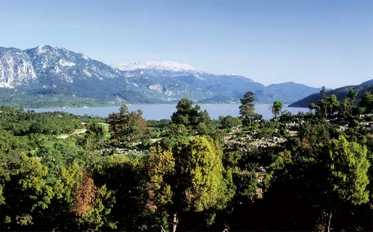
Karst collapse formed Kovada, a natural extension of Lake Eğirdir drained by a canal. Altitude: about 900 meters above sea level. Dense vegetation and wildlife led to national park status in 1970, a date the national park register of the Ministry of Agriculture and Forestry also lists, and first-degree conservation status followed in 1992. Its water flows into the Aksu Stream and on to the Mediterranean.
10. Lake Sülüklü, Bolu
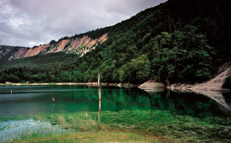
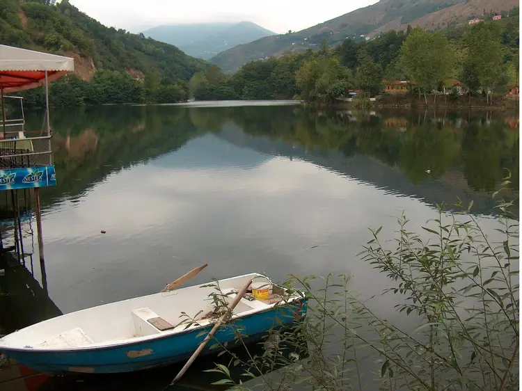
Lake Sülüklü (“Leech Lake”) took its name from leeches that once lived here. Trout were stocked years ago. The leeches are gone, and nobody seems to miss them. Protected since 1968, the lake formed centuries ago when a landslide blocked a stream bed, and in summer, as the level drops, dead tree trunks rise from the surface like ghosts. Fir, hornbeam, beech, oak, linden and plane trees ring the water, so the surface seldom gets sun all day. The lake is in Bolu’s Mudurnu district, next to the Samanlı Mountains. Set it beside Kovada and the contrast is neat: one forest lake made by karst collapse, the other by a landslide.
11. Fırtına Valley, Rize
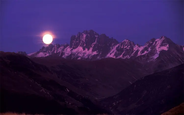
While the sun sets over the Black Sea coast, the Fırtına Valley is usually under fog. Clouds make humidity, humidity makes rain and rain makes dense vegetation. The Fırtına Stream gathers from the Hala, Hemşin, Elevit, Durak, Palovit and Tunca tributaries, starting in snowy peaks and dropping steeply toward sea level. Along this deep canyon you find waterfalls, boxwood forests and broadleaf thickets. Tea gardens climb the slopes. Dwarf hazelnut trees, too.
A sunny forecast for the coast says little about the valley, which tends to keep its own weather.
12. Lake Gölcük, İzmir
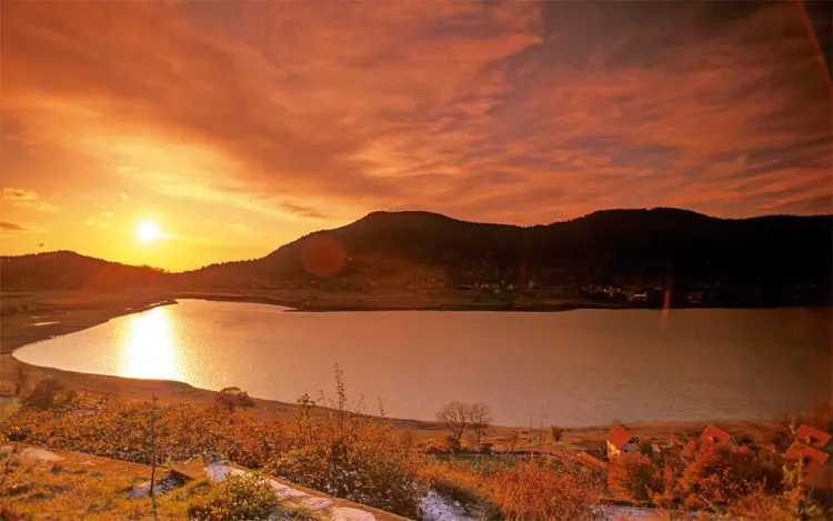
Lake Gölcük glows like an evil-eye bead in the middle of the ranges that divide the Gediz Plain from the Küçük Menderes Plain. At about 1,050 meters, in the shadow of the Bozdağlar (the ancient Tmolos), the lake is known for clean, oxygen-rich plateau air, and athletes use the area as a training camp while Aegean locals take summer breaks here. The shoreline is protected as a first-degree site, the same top tier Kovada holds.
Sources: Ministry of Agriculture and Forestry, Güzeldere Waterfall Nature Park, Wikipedia, Mount Spil, Ministry of Agriculture and Forestry, national parks of Türkiye


Bir yanıt yazın